As the Gulf war reignites, so does the electronic-warfare condition that came with it. From the opening strikes on 28 February, GNSS jamming and spoofing turned the Strait of Hormuz and surrounding Gulf into one of the most contested navigation environments anywhere — more than 1,100 vessels logged GPS and AIS interference inside the first twenty-four hours, per maritime-analytics firm Windward (Inside GNSS).
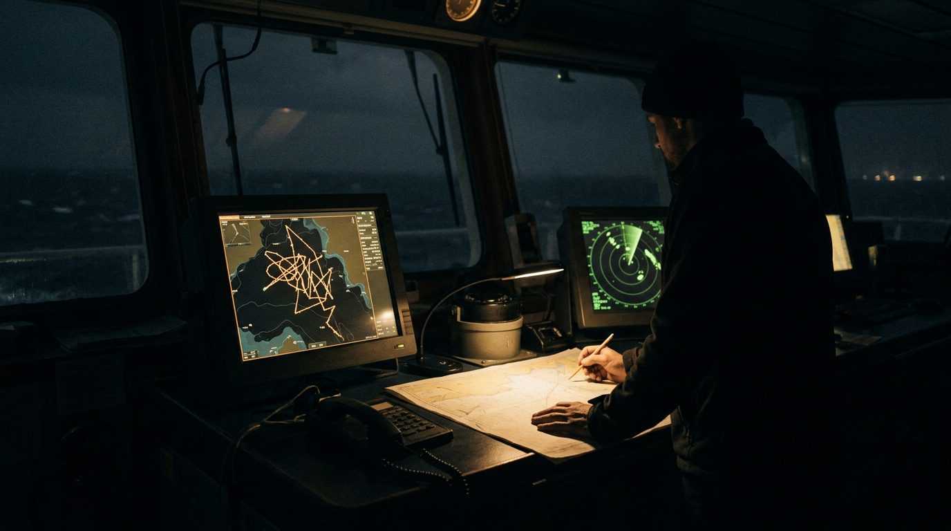
The effect is not a dropped signal but a lie. Spoofed vessels show up transiting over land, clustered on inland sites in Iran and the Gulf states, and in one documented case over a nuclear power plant, with AIS tracks jumping in circular or jagged patterns as receivers lose and reacquire a false fix (Inside GNSS). Some operators have switched AIS off entirely to stop broadcasting a nonsense position, at the cost of visibility for collision avoidance. Aircraft are exposed too: open-source reporting has civil-aviation GPS spoofing incidents climbing sharply through 2024, with airport disruption and flight diversions logged in contested regions (The Conversation). This is persistent, systematic denial, not brief episodic bursts — and this week's renewed fighting puts it back at full strength.
The tradecraft is old discipline applied hard. Treat any GNSS-derived position in the region as suspect: cross-check against radar, visual and terrestrial references, and keep a dead-reckoning plot running rather than trusting a single blue dot (Inside GNSS). For air movement, brief crews that degraded or spoofed navigation is expected, not exceptional, and confirm the crew's lost-GNSS and degraded-navigation procedures before departure. For ground and maritime teams, assume position-reporting and tracking tools that lean on GNSS will be unreliable across the basin, and plan comms and rendezvous on that basis. In a spoofing environment the map on the screen is an input to be verified, not a fact.