The useful starting point for any tradecraft note is a fact you can check, so start with two.
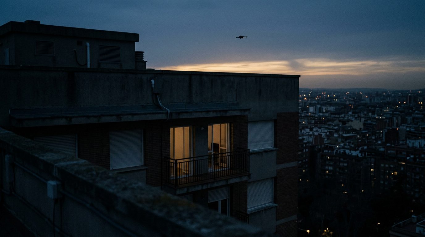
On the night of 28 to 29 May, the UN Security Council was told, an armed drone exploded on the top floor of a ten-storey residential building in the eastern Romanian city of Galati, injuring two residents, a woman and a child. Romania told the Council it had seen more than 40 drone incursions into its airspace in 2026, the first to cause civilian injuries, and that a Romanian technical report identified the drone as a Russian Federation Geran-2 model. That is a NATO member state, well behind any front line, with a strike landing on the upper floors of an ordinary apartment block.
In parallel, on 3 August the UN humanitarian office OCHA warned that drone strikes are posing deadly risks to civilians in Sudan and hampering the humanitarian effort to reach them. International media reported at least 35 people killed and dozens injured in a drone strike by the Sudanese Armed Forces on a traditional court in North Darfur, and OCHA said renewed drone attacks around El Obeid, in North Kordofan, had put civilians, critical infrastructure and aid operations at risk. Different theatre, same lesson: the overhead threat is now a routine feature of the ground picture, not a rare one.
For a protective team, none of this makes the sky a primary concern in the way that ambush or crime planning is. What it does do is add a dimension that used to belong only to the military. A few practical reads follow from the two cases above.
First, the threat travels. A NATO city and a Sudanese court are a long way apart, but both show strikes or strays reaching places that a route card would have marked as low risk. When you build the intelligence picture for a task in or near a contested region, treat overhead activity as a standing line item, not an afterthought, and read the local reporting for incursions and strikes the same way you read for crime and civil unrest.
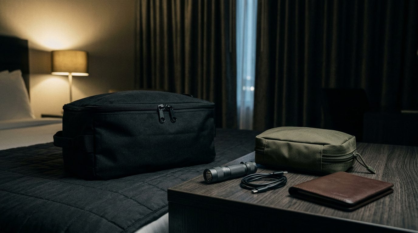
Second, structures matter more than open ground. The Galati strike hit the top floor. Upper storeys, roof terraces and top-floor suites carry more exposure to an overhead threat than lower, interior spaces do, which cuts against the usual habit of booking the best view. Where the risk is credible, favour lower floors, interior rooms and hard cover, and know the quickest route to a reinforced or below-grade space.
Third, tell surveillance from strike. A small drone loitering over a venue or a route is most often an intelligence problem, mapping pattern of life, timings and approaches, and it is a reason to vary routine and to report. A larger fixed-wing or delta-shaped platform holding a course is a different order of concern. A protective team does not need to classify airframes to standard, but it should be able to say clearly what it saw, when, where and heading which way, because that report is what lets someone who can act, act.
Fourth, know the local rules before you deploy. Several states now regulate or restrict civilian drone use and device registration, and being caught the wrong side of a local rule is its own problem on a task. Check the current advisory for the country you are entering and fold any drone or device restriction into the brief.
The overhead threat is not a reason to freeze a task, and it is rarely the thing most likely to go wrong. It is a reason to widen the picture upward, to think about which floor and which room, and to keep a clean reporting habit, so that a sky you cannot control is at least a sky you are watching.