One consequence of the maritime crisis that does not make headlines is that satellite positioning can no longer be trusted in the two theatres that matter. Persistent GNSS jamming and spoofing is confirmed as an ongoing operational hazard across the Strait of Hormuz, the Gulf of Oman and the Arabian Gulf, and it now affects parts of the Red Sea as well, according to a maritime security update from insurer Skuld dated 29 June.
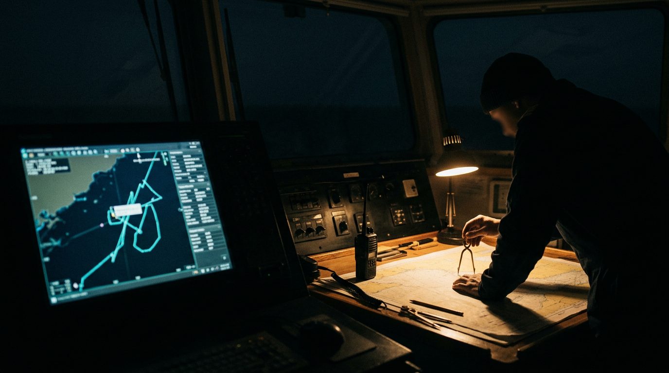
The official traffic backs this up. Skuld points to a US MARAD advisory flagging GPS-disruption precautions and encouraging incident reporting, and to the Joint Maritime Information Centre reporting persistent interference across the strait approaches. Spoofing does not just degrade a fix, it can place a vessel's reported position somewhere it is not, which is a collision and boarding risk as much as a navigation one.
The mitigations are unglamorous and effective. Treat GNSS as degraded by default. Cross-check every position by radar range and visual bearing. Run pre-transit drills for navigating without GPS, so the watch is not learning it live in a confined waterway. Keep AIS on in line with SOLAS, because there is no evidence that switching it off improves safety, and it removes you from other ships' collision picture. Retain ECDIS and voyage-data-recorder screenshots of anomalies, both for incident reporting and for any later dispute.
The wider point for movement planners is that this discipline is not only for ship's crews. Anyone advising a principal with a yacht, a charter or a transit through either chokepoint should assume the electronic picture is unreliable and plan the human redundancy in from the start.