The US Maritime Administration's standing advisory for the Gulf, 2026-004, is the clearest open-source statement of how to move through contested water right now. It runs to 9 September and, per gCaptain's read of it, sets out measures worth understanding whether you move by sea, air or road.
Three points stand out. First, communications discipline. Iranian forces are contacting vessels by VHF and email and ordering them to divert into Iranian waters. The advisory tells US-flagged ships to ignore those instructions and continue if safe, while answering all coalition naval calls. A hostile actor issuing official-sounding routing instructions over open channels is a movement problem, not just a maritime one.
Second, deconfliction. Vessels are told to keep at least 30 nautical miles from US naval units to avoid misidentification, coordinate with Naval Cooperation and Guidance for Shipping, and where possible hug the Omani coast. Know where the friendly hard power is and stay out of its engagement picture.
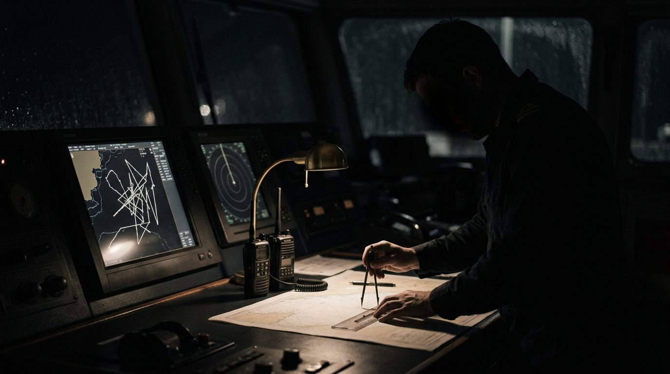
Third, navigation integrity. The advisory warns of significant GNSS interference, spoofing and jamming across the region, and tells mariners to lean on radar, visual bearings and cross-checked ECDIS rather than trust a single satellite fix. The Iranian threat set it names now includes missiles, armed drones and unmanned surface craft, alongside the older small-boat and helicopter boardings.
The operator lesson generalises. In a spoofing environment, a GPS position, a tracking dot or a geofence can lie. Brief crews and drivers to expect it, carry an analogue fallback, and never let an automated position or an unverified instruction make the decision for you.