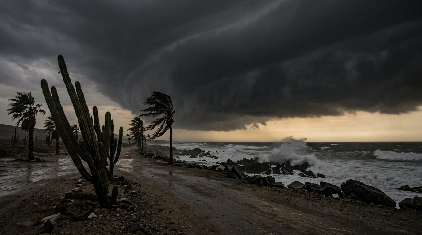
Hurricane Polo was about to make landfall on the coast of Baja California Sur on Monday evening local time as a category 3 hurricane, according to the US National Hurricane Center (NHC). Its advisory issued at 8pm Mountain Standard Time on 28 September (03:00 UTC on 29 September) placed the centre about 125 km north of Cabo San Lazaro, with maximum sustained winds near 185 km/h, moving north-east at about 20 km/h.
The NHC forecast track takes the core inland over southern Sonora on Tuesday morning, with Polo expected to still be a hurricane when it makes a second landfall on mainland Mexico, then weakening rapidly as it moves further inland.
The FCDO updated its Mexico travel advice at 19:33 UTC on 28 September. It says the hurricane "will impact Baja California Sur on the afternoon and evening of 28 September, and is forecast to continue into Sinaloa and Sonora states over the following days", bringing "high winds, dangerous sea conditions and heavy rains, with risks of life-threatening flooding and landslides."
Warnings in force at 03:00 UTC
A hurricane warning covered the west coast of Baja California Sur from Punta Abreojos to Santa Fe, the east coast from Loreto to Bahia San Juan Bautista, and mainland Mexico from Bahia Kino to Huatabampito. Hurricane watches and tropical storm warnings extended further along both coasts of Baja California Sur and on the mainland south to Topolobampo. The NHC said hurricane-force winds reached up to 65 km from the centre and tropical-storm-force winds up to 165 km.
The NHC forecast rainfall of 6 to 12 inches (roughly 150 to 300 mm) across parts of Baja California Sur, and 4 to 6 inches with maximum totals of 8 inches across southern and central Sonora, warning this "may produce life-threatening flooding and mudslides, especially in areas of steep terrain." It also forecast significant coastal flooding from storm surge where winds are onshore.
What it means for operators
Anyone with principals or teams in Baja California Sur, Sonora or northern Sinaloa this week should plan on disrupted road and air movement and on the conditions the FCDO describes after the storm passes: damage to infrastructure, flooding, possible power outages and limited communications. Confirm shelter locations published by local authorities, keep a communications fallback that does not depend on local mobile networks, and do not plan road moves through steep terrain while rain continues.
The FCDO advises following local authorities and tour operators, and monitoring the NHC and the Mexican Meteorological Service. British nationals affected who need consular help can call the British Embassy in Mexico on +52 55 1670 3200.