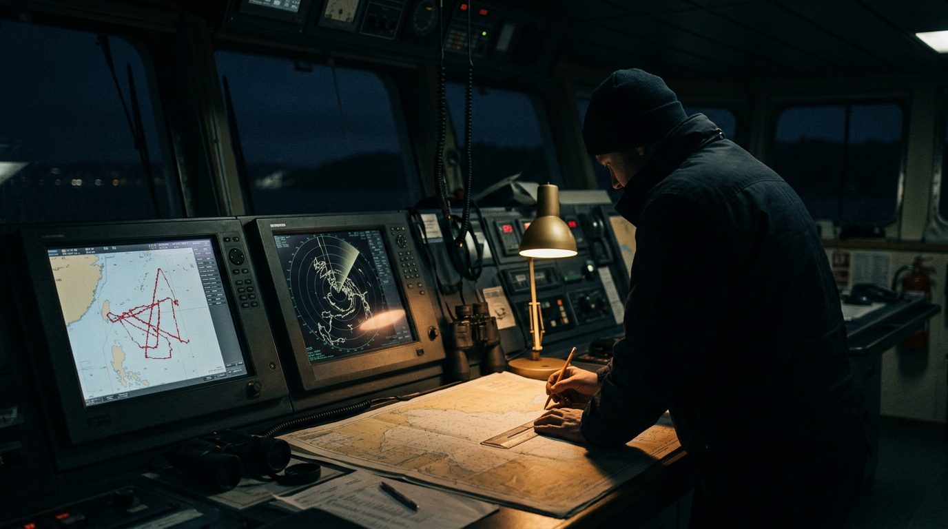
The contested waters around the Strait of Hormuz come with a contested electromagnetic picture. Since the campaign against Iran opened in late February, GPS jamming and spoofing across the Gulf has become one of the most severe interference environments the Gulf has seen. Reporting indicates jamming affected more than 1,100 ships within a single 24-hour period, and maritime analytics providers have documented interference across more than a thousand vessels at a time.
The effects are not subtle. Vessels appear on their own navigation screens circling over dry land, crossing airports, or drifting through a nuclear power plant. A distinct spoofing pattern near the UAE coast has been making ships look as if they are sailing in neat straight lines toward the strait when they are not. AIS anomalies and vessels going dark compound the confusion. Risk advisers flag heightened GPS jamming and AIS spoofing across the Gulf of Oman and the strait, tied to Iranian naval and electronic-warfare activity.
The tradecraft is old-fashioned and it works. Assume position, navigation and timing will degrade in the Gulf and brief it as the baseline. Cross-check GPS against radar ranges, visual bearings and depth. Keep dead-reckoning running and a paper chart plotted. Treat AIS as unreliable for collision avoidance and lean on radar and lookout. Confirm timing sources for anything that depends on them. Report interference to UKMTO and the regional maritime security channels so the picture stays current for the next vessel through.
The same discipline reaches beyond the bridge: any protective task relying on phone GPS, vehicle tracking or drone positioning in the region should carry a manual fallback and rehearse working without a trusted fix.