One consistent feature of the Gulf crisis, running since the fighting first flared in the spring and still live through the current strikes, is that satellite positioning cannot be trusted anywhere near the Strait of Hormuz. For anyone planning movement in the region, that is a tradecraft problem worth understanding.
The scale is not marginal. When hostilities first escalated, the maritime intelligence firm Windward logged more than 1,100 vessels hit by GPS and AIS interference inside a single 24-hour window. Scientific American described the effect vividly: spoofed positions showed supertankers circling over dry land, cargo vessels crossing through airports, and container ships drifting through a nuclear power plant.
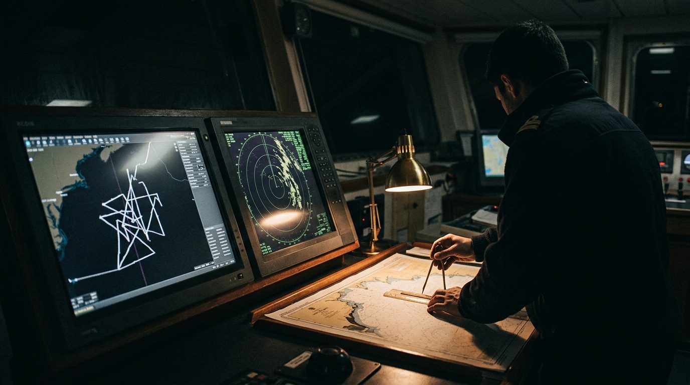
It helps to separate the two failure modes. Jamming is a denial-of-service problem, high-power noise that swamps satellite signals so a receiver simply loses its fix. Spoofing is the deceptive one, where a transmitter broadcasts counterfeit satellite signals that a receiver accepts as real, so the device confidently reports a false position. As one navigation expert put it, a spoofer pretends to be all of those signals at once from a single antenna. The knock-on effect reaches the ship's AIS, which then broadcasts that false position to everyone watching.
The working guidance is old-school and holds up. Treat any GNSS-derived position as advisory and cross-check it against radar, visual bearings and dead reckoning. Brief drivers and crews that the moving-map fix can be wrong by miles. Expect vessels and even aircraft to go dark on AIS to avoid broadcasting a spoofed track, which means the common operating picture thins out just as the risk rises. And build the assumption into route and timing plans rather than discovering it live: in this environment, the blue dot on the screen is a suggestion, not a fact.