The Strait of Hormuz is not only a physical chokepoint now; it is one of the most contested electromagnetic environments in the world, and that is a planning factor for anyone operating in or near it.
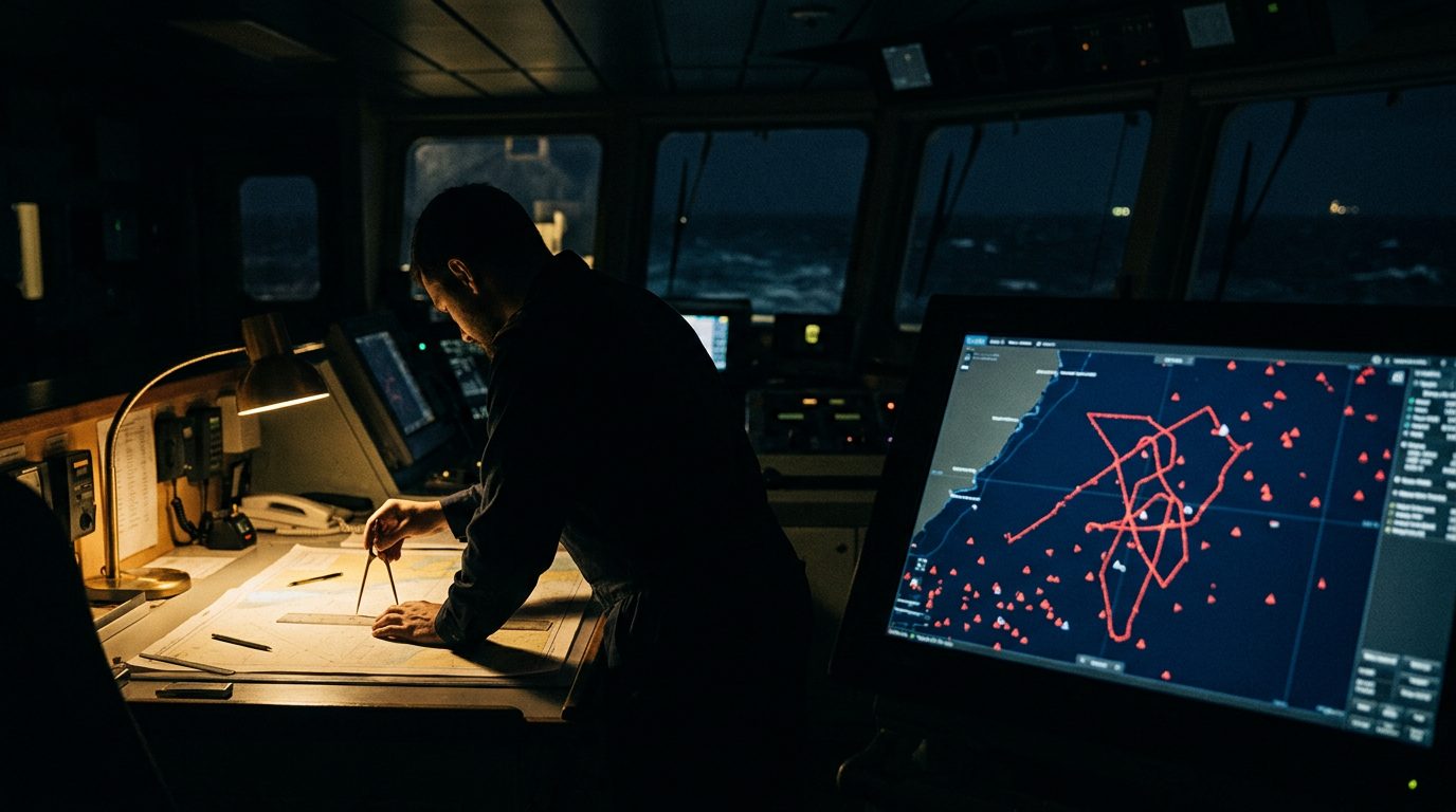
Since the war began in late February, GNSS interference — jamming and spoofing of GPS and related satellite navigation — has been widespread across the Gulf and the strait. Maritime analytics firms have logged interference affecting more than 1,000 ships in a single day. Spoofing does not just blank the signal; it feeds a false position. Vessels appear on their own displays and to others as circling over dry land, crossing airports or drifting through a nuclear power plant, because the corrupted GPS fix also drives the ship's AIS beacon. The result is a bridge picture that cannot be trusted: a captain looking at electronic charts sees phantom ships in false positions and cannot reliably tell where other traffic is or what it is doing.
The tradecraft response is old-fashioned and deliberate. Treat any GNSS-based position with suspicion in the region. Lean on radar and visual watchkeeping, especially in confined waters, and cross-check against terrestrial and complementary positioning — inertial aids, hardened multi-constellation receivers, visual bearings and known charted marks. Brief the crew that the electronic picture is degraded by design, so a plausible-looking screen is not confirmation.
For protective and maritime operators, this reaches beyond the bridge. Tracking a principal's vessel or coordinating a movement using AIS or a consumer GPS feed can put a false position into your own plan. Build the assumption of spoofing into comms and tracking, confirm positions by a second independent method, and keep manual navigation competence current on any team that may work the Gulf.