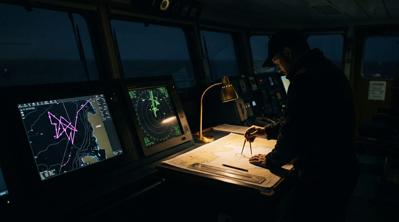
The electronic picture over the Gulf is the least trustworthy thing on the bridge. In the 24 hours after hostilities reopened earlier this year, GPS interference affected more than 1,100 vessels across the Strait of Hormuz and Gulf of Oman, displacing their reported positions onto airports, inland sites and even a nuclear power plant, according to maritime-intelligence reporting.
Two failure modes matter, and they call for different responses. Jamming is denial — the receiver loses lock and the position drops out, which is at least obvious. Spoofing is deception — a false signal feeds the receiver a plausible but wrong fix, which is far more dangerous because the screen looks normal while it lies.
The compounding risk this month is that a corrupted position can put a vessel somewhere it should not be. Mine hazard in and around the strait is still assessed as a live possibility pending confirmation, and any clearance would run for months. A spoofed track that nudges a master off a swept route, toward the coast, or into a warned area is a navigational-safety problem, not just a nuisance.
The tradecraft is not new, but the discipline has to be absolute. Treat the GNSS position as advisory, never authoritative. Cross-check every fix against radar, visual bearings and a running paper or parallel plot. Keep dead-reckoning live, so there is always an independent estimate to fall back on. Use hardened, multi-constellation receivers and whatever inertial or terrestrial backup is fitted. Brief the whole bridge team that the blue dot may be a lie, and rehearse the switch to manual before it is needed. Report interference through UKMTO and the joint reporting channels, so the regional picture stays current for the next master.
Assume degraded position and timing for the whole transit. The crews who cope are the ones who never trusted the screen in the first place.