Electronic warfare is now part of the baseline threat in the Gulf, and it does not switch off between missile attacks.
At the height of the interference earlier in the conflict, more than 1,100 vessels experienced GPS and AIS disruption across the Gulf inside 24 hours. Ships' reported positions were thrown onto airports, inland across Iran, Oman and the UAE, and even over the Barakah nuclear power plant. Around 150 ships were stranded near the strait as a result. This was not brief signal loss — it was systematic position bias across wide areas, with AIS tracks showing vessels apparently crossing land or jumping in jagged loops as signals dropped and reacquired.
The interference is both jamming, which denies a fix, and spoofing, which feeds a false one. The false fix is the more dangerous: it looks plausible and can put a ship confidently in the wrong place in exactly the confined water where margins are smallest. Analysts have linked the anomalies to Iranian naval and electronic-warfare activity.
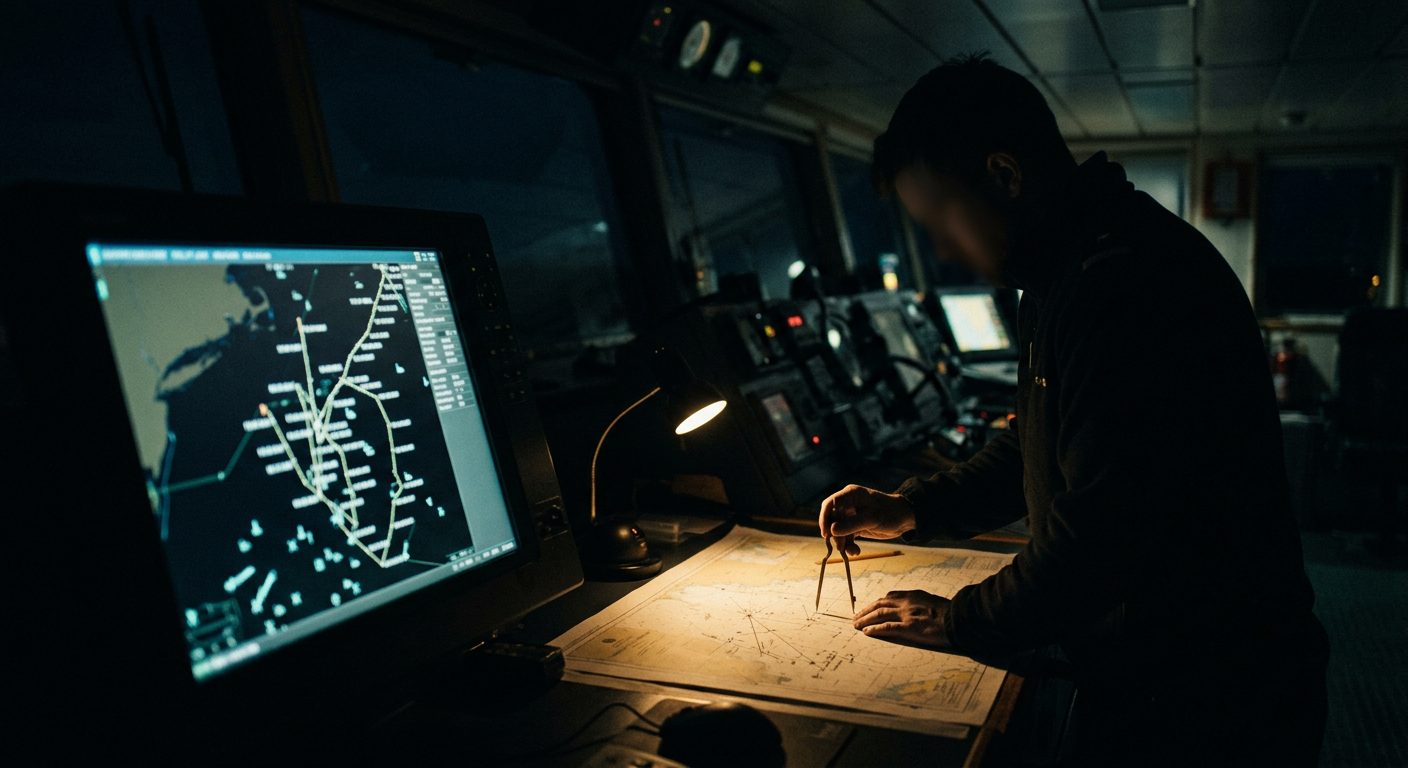
The tradecraft is old discipline, reapplied. Treat any GNSS position in the Gulf as suspect. Cross-check against radar, visual bearings and known charted features; keep a paper plot running; and do not let an electronic chart's confident icon override the watchkeeper's eyes. Some crews have switched AIS off in the strait to avoid broadcasting a spoofed position — a judgement call that trades collision-avoidance visibility for not advertising a false track.
For teams planning maritime movements or advising principals on Gulf travel, brief GNSS denial as a certainty, not a possibility. Any plan that assumes a reliable satellite fix through Hormuz is already broken.